Recognising Mauritius's mountains before choosing a walk
Distinguish Le Pouce, Pieter Both, Lion Mountain and the southwest mountains, with links to the right specialist walking information.
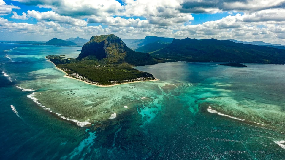
A mountain recognised from the road is not necessarily a straightforward walking destination. Mauritius's distinctive silhouettes are useful landmarks, but the photograph alone tells you little about access, exposure or the skills needed higher up.
Separate the central landmarks
Le Pouce and Pieter Both are different mountains, even when both appear in descriptions of the central range. Pieter Both's striking summit rock should not be read as an invitation to improvise a climb. Start with the route's actual conditions and required support, not a list ranking peaks by height.
Look southeast and southwest
Lion Mountain belongs in a southeast plan around Grand Port, while Black River Gorges provides a broader national-park setting in the southwest. A park viewpoint, forest walk and exposed summit route are different activities. Tamarind Falls is a waterfall landscape with its own access and guiding considerations, rather than another interchangeable mountain stop.
Move from recognition to a realistic plan
For a walking day, record the trailhead, current access, distance, ascent, terrain and return arrangement. Use Hiking Mauritius for comparisons, then the relevant specialist page for detail. Stop at a suitable viewpoint if that better fits your group. Do not enter a closed route because an old map, social post or guidebook depicts it. If you want a guided outing, match the real route to current Andeor hiking options, rather than assuming every mountain has a bookable departure.
Does a shorter route mean an easier climb?
No. Exposure, scrambling, surface conditions and the return descent can matter more than distance. Read the route description in full.